

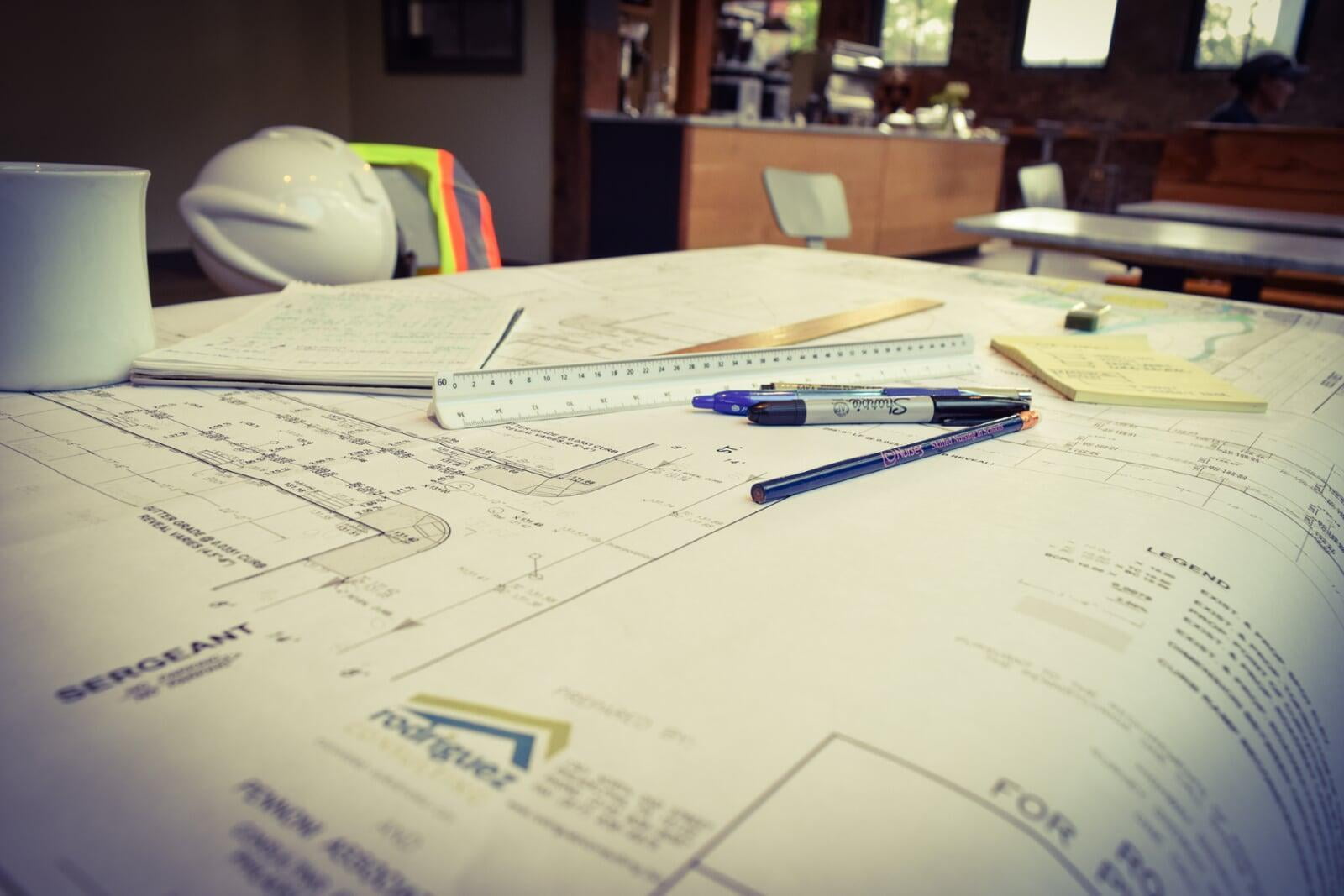
- Site Investigation/Due Diligence
- Site Evaluation & Planning
- Utility Coordination
- Entitlements & Zoning
- PWD Existing Resources & Site Analysis (ERSA)
- Stormwater Discharge Permits
- Sewage Facilities Planning Act 537
- NPDES Permits
- Site Grading & Drainage
- Erosion Control & Sedimentation
- Post-Construction Stormwater Management Plans
- Utility Plans including Private Cost Water & Sewer Design
- Landscape & Lighting Plans
- Environmental & Geotechnical Coordination
- Traffic Impact Studies
- Sustainable Design
- As-Built Surveys
Geospatial
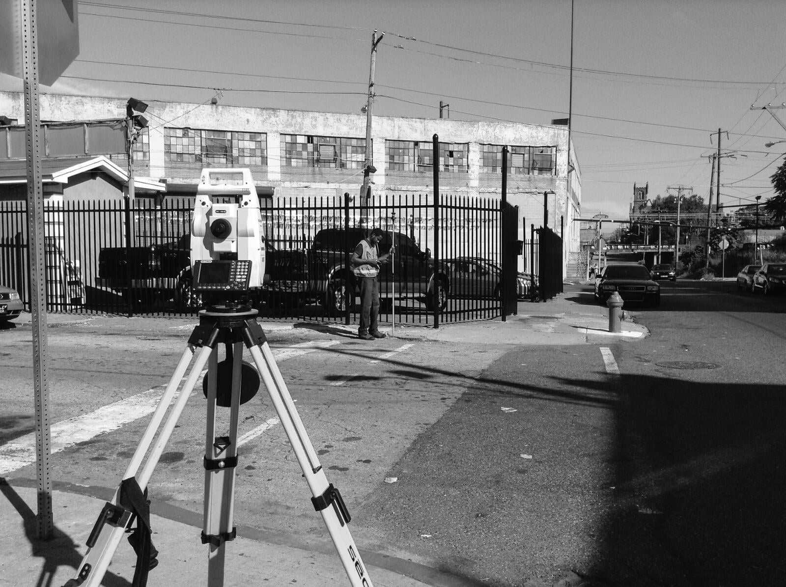
Land Surveying
- ALTA/ACSM Land Title Surveys
- Subdivisions & Lot Consolidation
- Right-of-Way Surveying
- Topographic Surveying
- Construction Layout
- As-Built Surveys
- GIS asset inventories
- Our team utilizes the following technologies to support our land surveying operations:
- Robotic Total Stations
- GPS Receivers
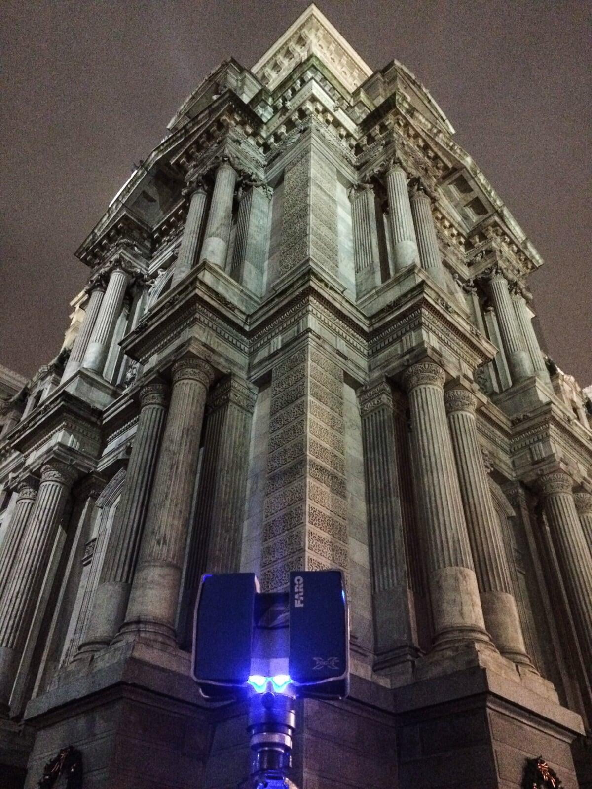
- Faro X330 3D Laser Scanners
- Unmanned Aircraft Systems (UAS)
- Smartphones/Tablets running FulcrumApp
Infrastructure Mapping & Analysis
- Potable Water & Wastewater
- Stormwater, Green Stormwater Infrastructure, & Waterways
- Energy (Natural Gas, Electric, Steam)
- Transportation (Roadways, Signs, Traffic Signals, Light Poles, ADA Ramps)
- Pedestrian Networks (Trails, Sidewalks, Bike Lanes, Bike Stations)
- Communications (LANs, WANs, Poles, Towers, cables)

3D Laser Scanning
Architectural, Building – RetroBIM, Civil Infrastructure, Construction, Historic Preservation, Industrial/Plant, Land Surveying, Landscape Architecture, Public Art, Site and Urban Planning
2D Modeling, 3D Animations, 3D Modeling, ADA Compliance Surveys, As-Built Surveys, Asset Inventory, BIM Conversion, Construction Documentation, Deformation Analysis, Facility Management, GIS Integration, Land Surveying, Photogrammetry, Terrestrial Laser Scanning, Web Publishing & Hosting via Faro Webshare
3D Animations, 3D Point Clouds, Augmented Reality, AutoCAD Civil 3D or Revit, CAD/BIM 2D or 3D Objects, ESRI GeoDatabase, Google Earth, Interactive Web Site, 3D Mesh, Digital Terrain Models , Web Viewers
Drone (UAS) Mapping
"DRWC has engaged Rodriguez Consulting in a number of projects and we have been extremely pleased with the process and results in each case. We particularly appreciate Rodriguez’s ability to do high quality work that is visually appealing and easily understood by the lay person. The materials they produce make it easy to communicate our plans with community members and other waterfront stakeholders."
Planner / Project Manager Lizzie Woods

"Rodriguez Consulting had become an integral partner in our real estate development work specifically with land surveying and engineering services. Lou and his team exceed expectations related to the quality and content of the finished products and the timeliness of their work. They communicate clearly, are effective problem solvers, and are entirely dependable. Rodriguez Consulting has also developed the expertise to assist in our storm water management projects, and they somehow remain ahead of the industry in understanding methods and trends. Rodriguez consulting brings essential competencies that greatly contribute to the success of our projects."
President / CEO Casey O'Donnell PsyD